Nagaland Map – download the different maps of Nagaland in PDF free of cost. You can use these maps for educational and noncommercial purposes.
Nagaland is one of the 28 states of India located in the northeastern part of India. It is surrounded by the states of Assam in the north and west, Arunachal Pradesh in the northeast and Manipur in the south. Nagaland shares an international border in the eastern side with the country of Myanmar (Burma).
Nagaland Map
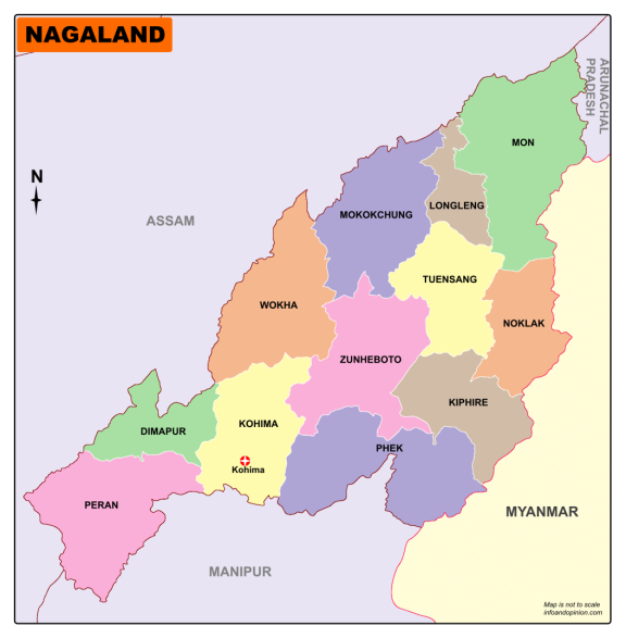
Click Here to Download Nagaland Map – Districts
The total land area of Nagaland state is 16,579 square kilometers. As per the 2011 census data, there are 19,80,602 people living in a density of 119 people per square kilometer.
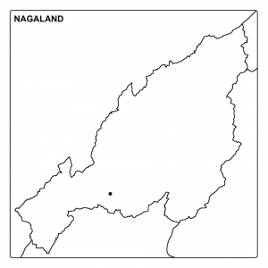
The capital of Nagaland Kohima is located in the Kohima district. Dimapur is the largest city in Nagaland. The state is divided into 12 geographical divisions called districts.
Districts in Nagaland are:
- Dimapur
- Kiphire
- Kohima
- Longleng
- Mokokchung
- Mon
- Peren
- Phek
- Tuensang
- Wokha
- Zunheboto
- Noklak