Kerala Map
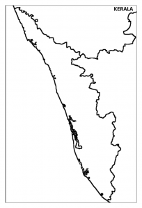
Kerala is situated at the end of the southwest coast of the Indian subcontinent. Kerala shares its boundaries with Tamilnadu in the South and East and Karnataka in the North and East. The Western side of the state is totally covered with the Arabian Sea.
Kerala Political Map
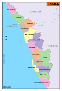
Download Kerala Map District
Kerala is divided into 14 districts. Thiruvananthapuram is the capital of Kerala.
Namely, they are
|
Alapuzha Ernakulam Idukki Kannur Kasaragod Kollam Kottayam |
Kozhikode Malapuram Palakkad Pathanamthitta Thrissur Thiruvanandhapuram Wayanad |
Kerala Tourist Map
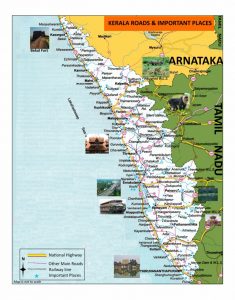
Click Here to Download Kerala Tourism Map
Kerala is a famous tourist destination in the world.
Kerala Outline map
4 Comments